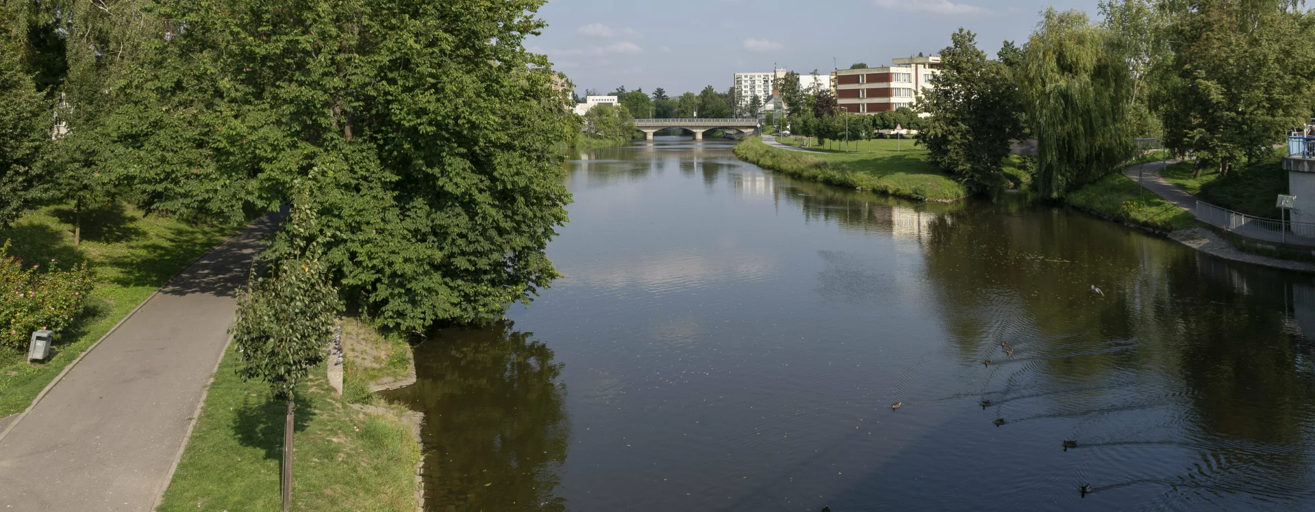
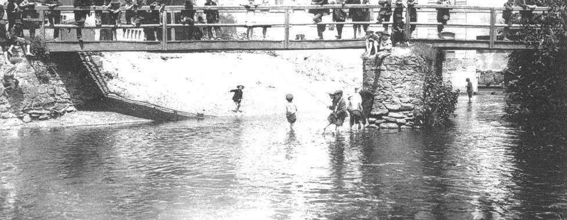
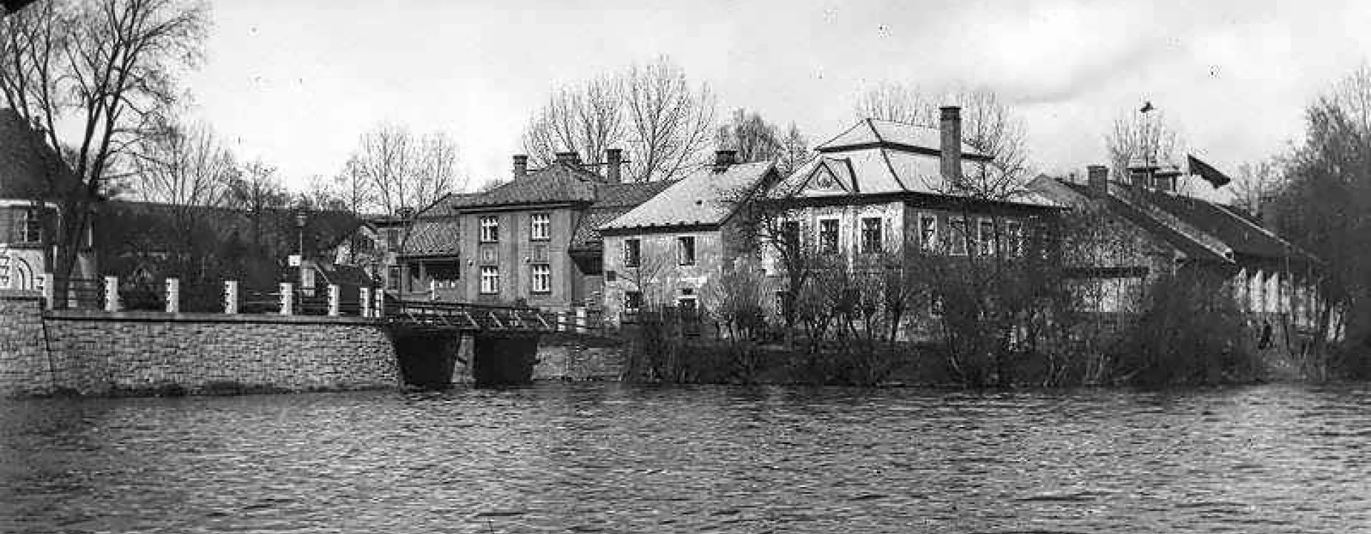
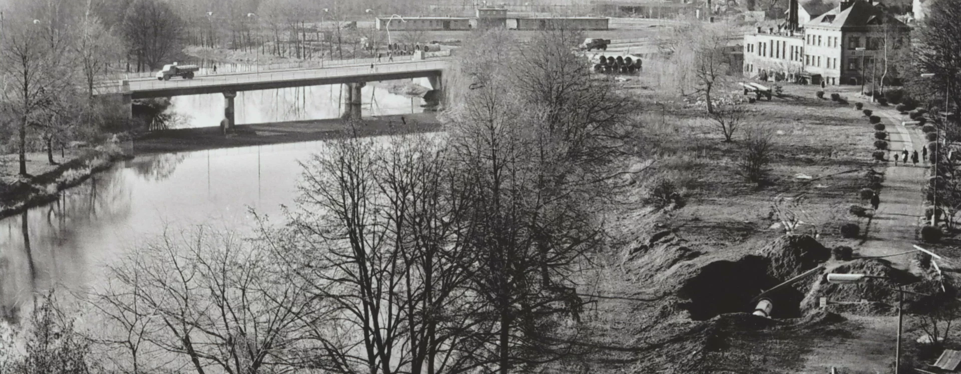
It was only in the second half of the 20th century that the embankments of the River Sázava began to take on the role of spaces for leisure, sport, and culture. The area had long been largely a floodplain, with restricted historical developments. In some places, the Sázava once flowed closer to the town—for example, along the south-eastern section of the town walls near the Rámy housing estate (HB-VP-SN1), where the river was later regulated and the embankment expanded during the 20th century.
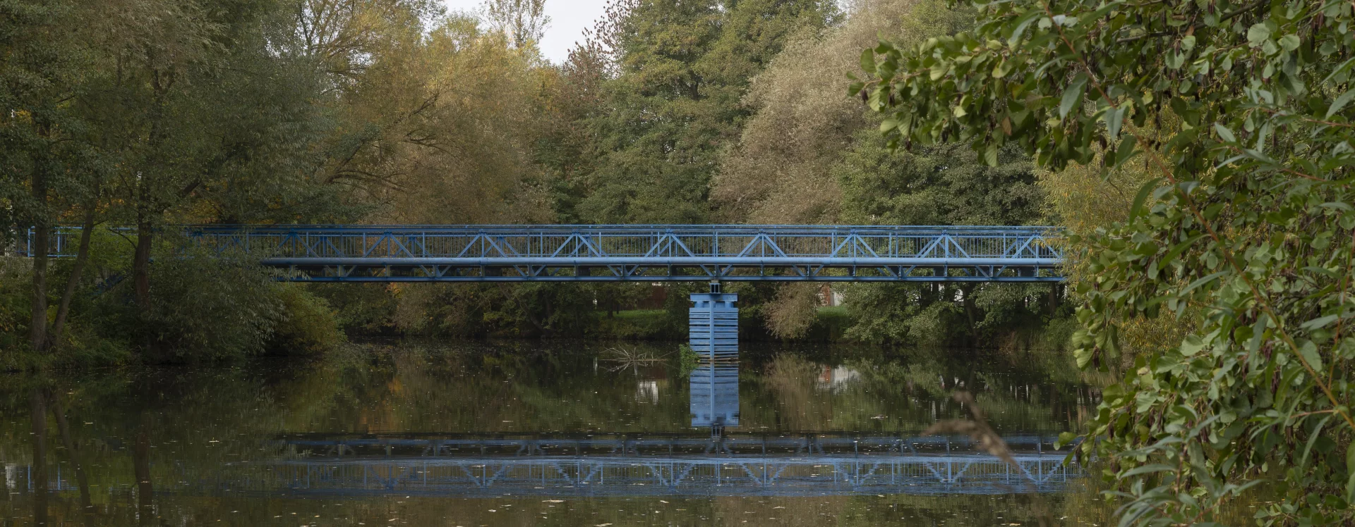
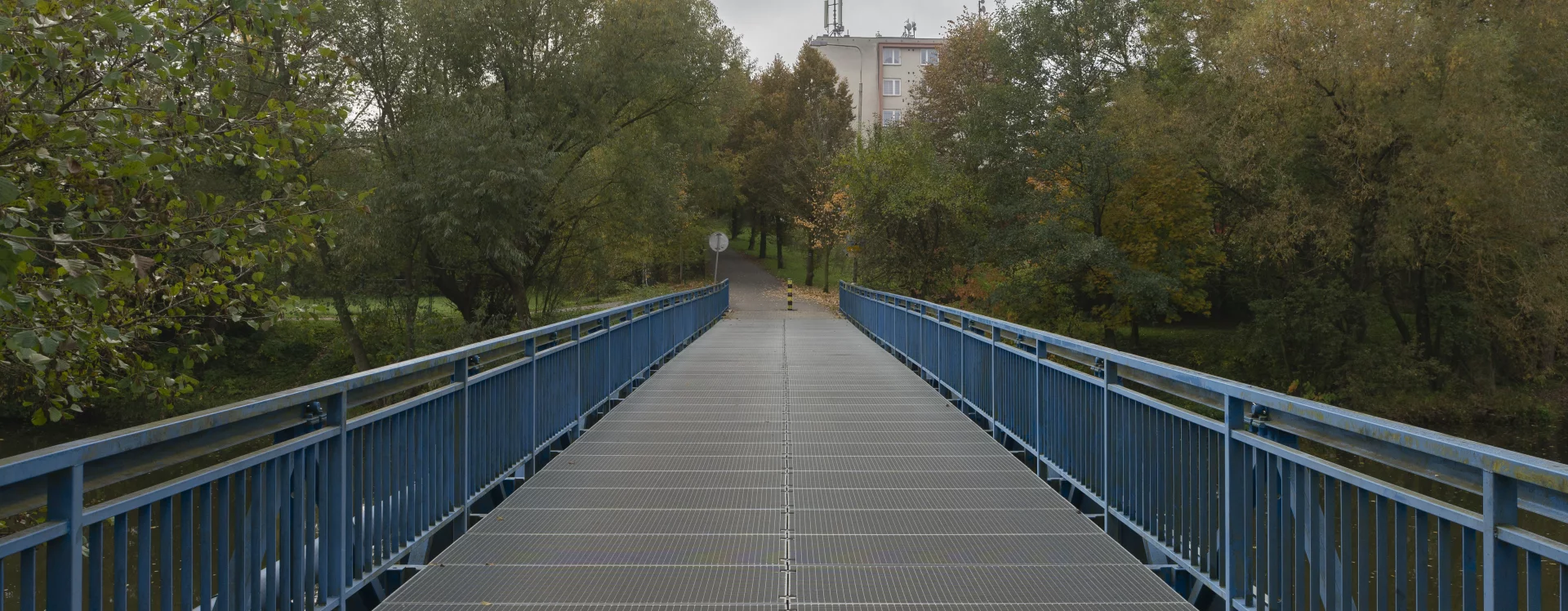
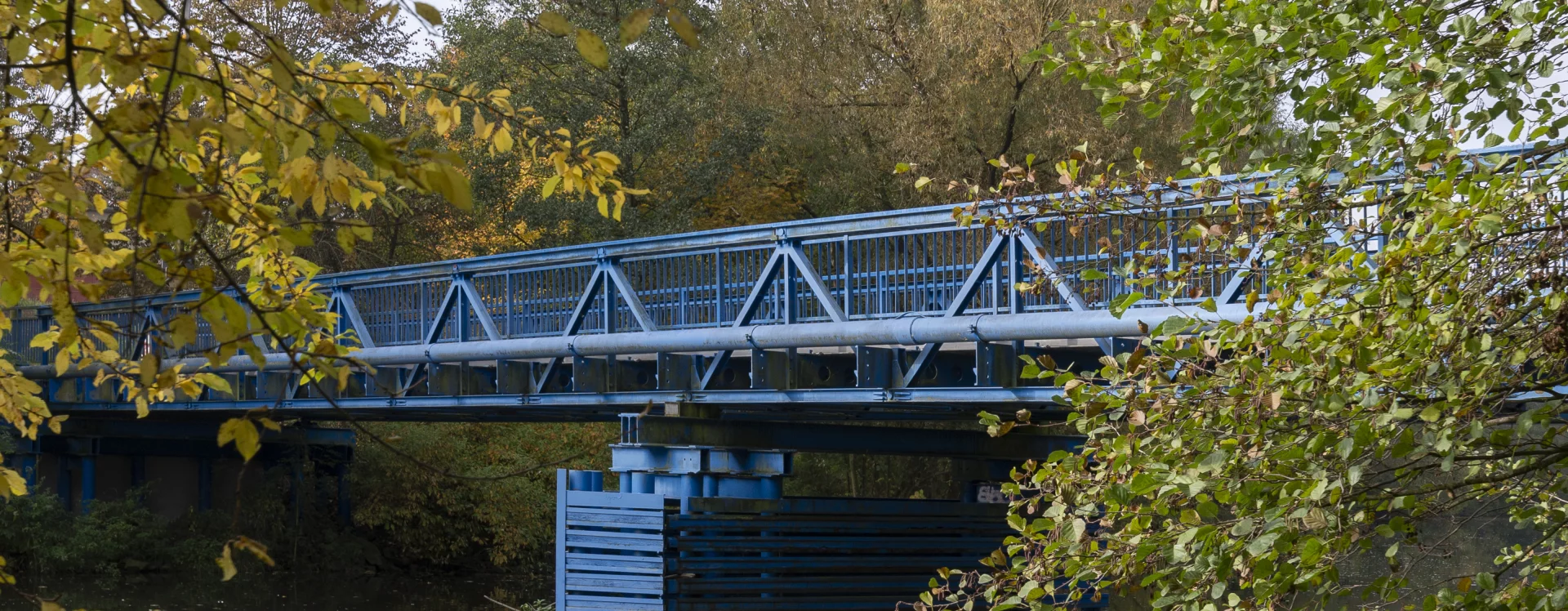
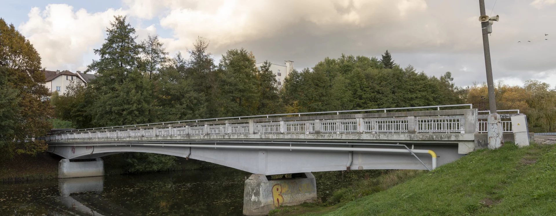
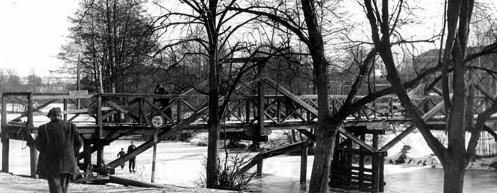
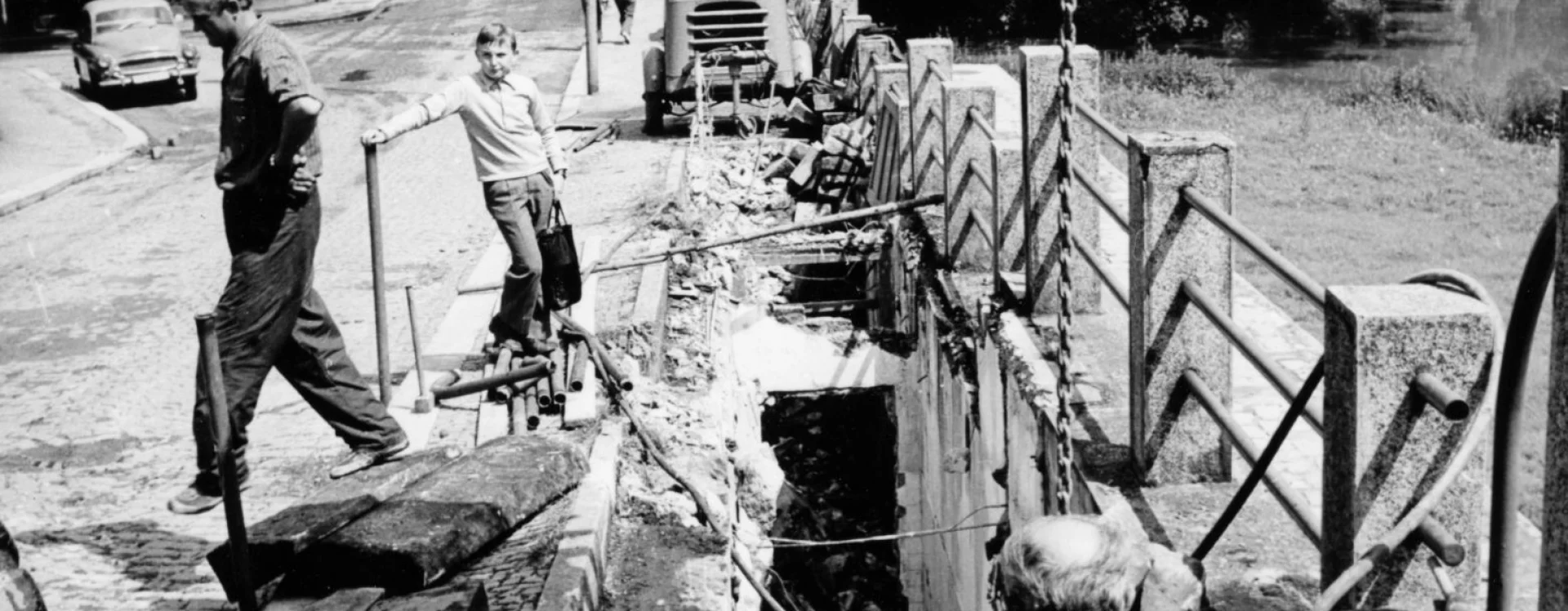
Pedestrian bridges across the Sázava outside the town centre were originally built as individual structures serving a practical purpose—to shorten the walking routes between more distant functional parts of the town. The pedestrian and vehicle bridge at U Jána street connected the railway station with the Žižkov district, while the bridge constructed with the participation of the railway corps in 1993 provided better pedestrian access between the hospital and the suburban area around Humpolecká street.
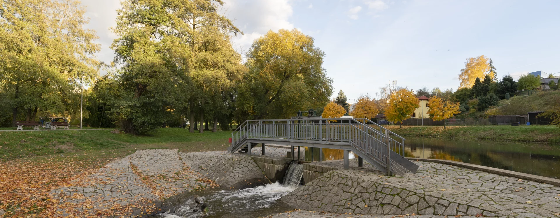
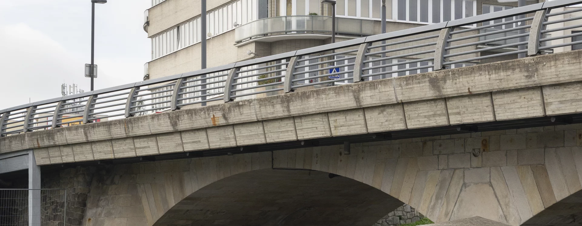
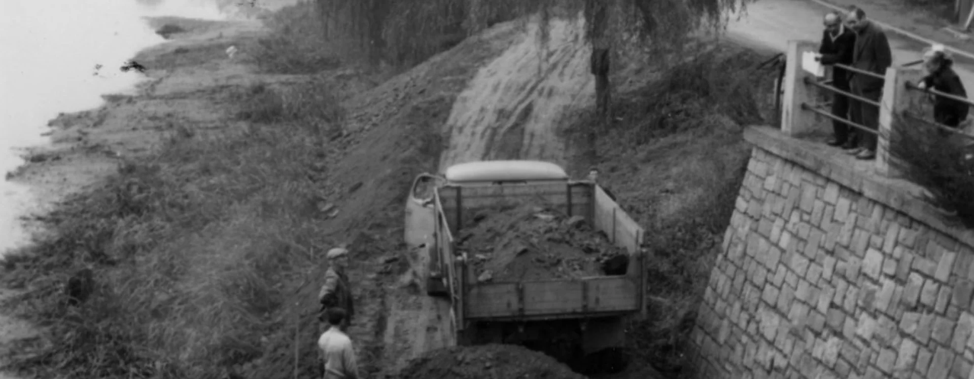
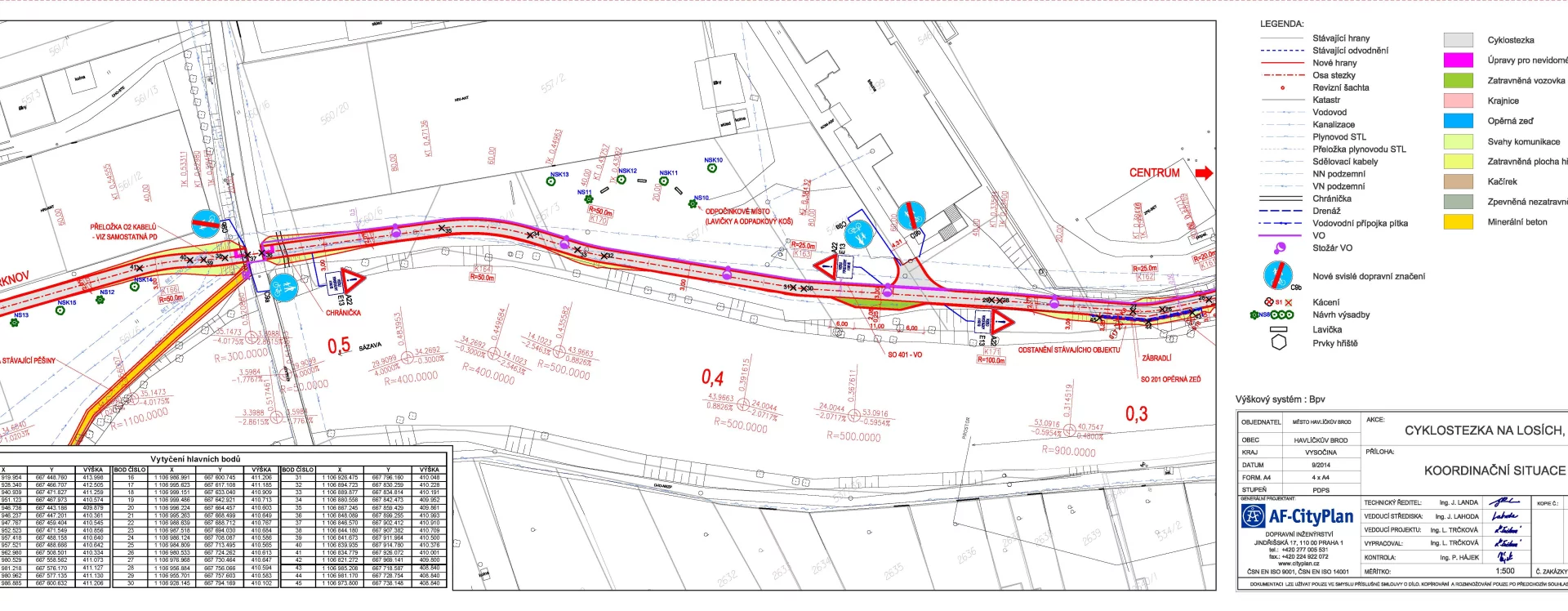
A comprehensive plan for pedestrian and cycle paths and bridges along the River Sázava was undertaken by the town in the second decade of the new millennium. Their current routes reach as far as the previously mentioned bridges at U Jána and Humpolecká streets, both of which were reconstructed in the 2010s.
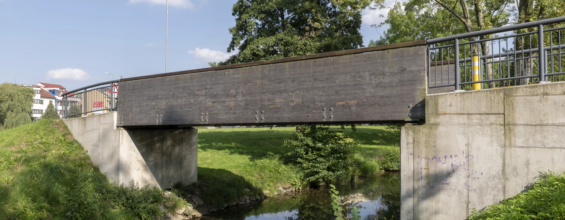
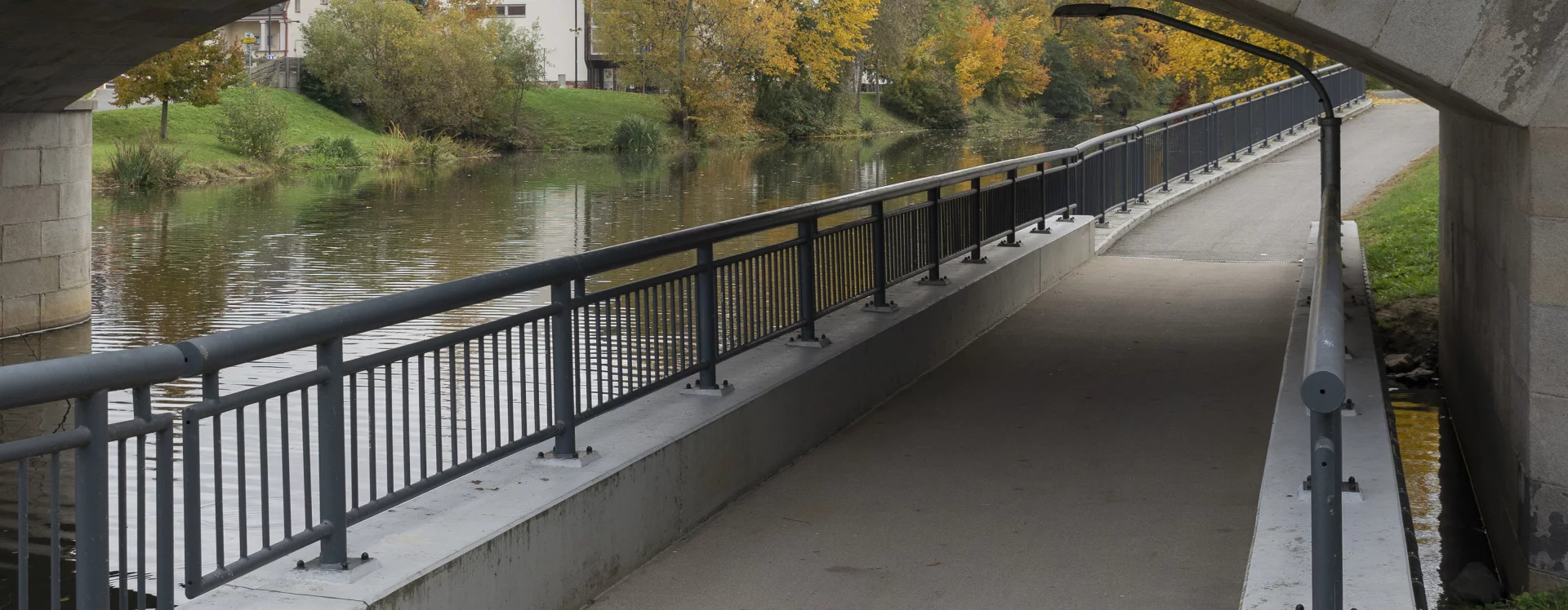
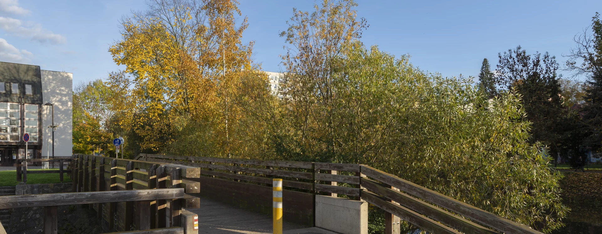
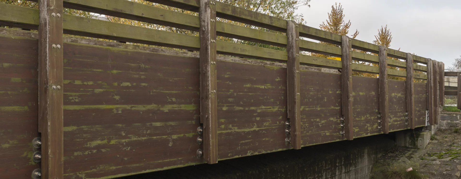
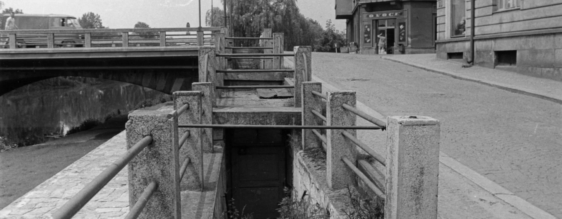
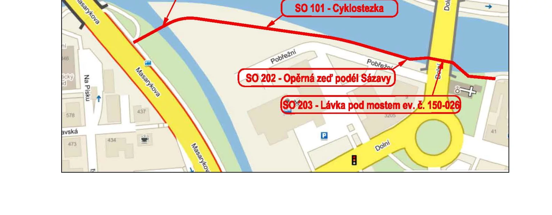
The sections of the paths within the historic centre—roughly between the Vysočina Regional Library (HB-4344) and the Church of St Adalbert—have been given a more deliberate urban design and are well integrated into the wider transport infrastructure. In this area, the paths include passages or underpasses beneath the road bridges at Dolní and Masarykova streets, as well as connections to those bridges. Near the Church of St Catherine, the path continues via a wooden pedestrian and cycle bridge across the Sázava tributary, the Žabinec stream.
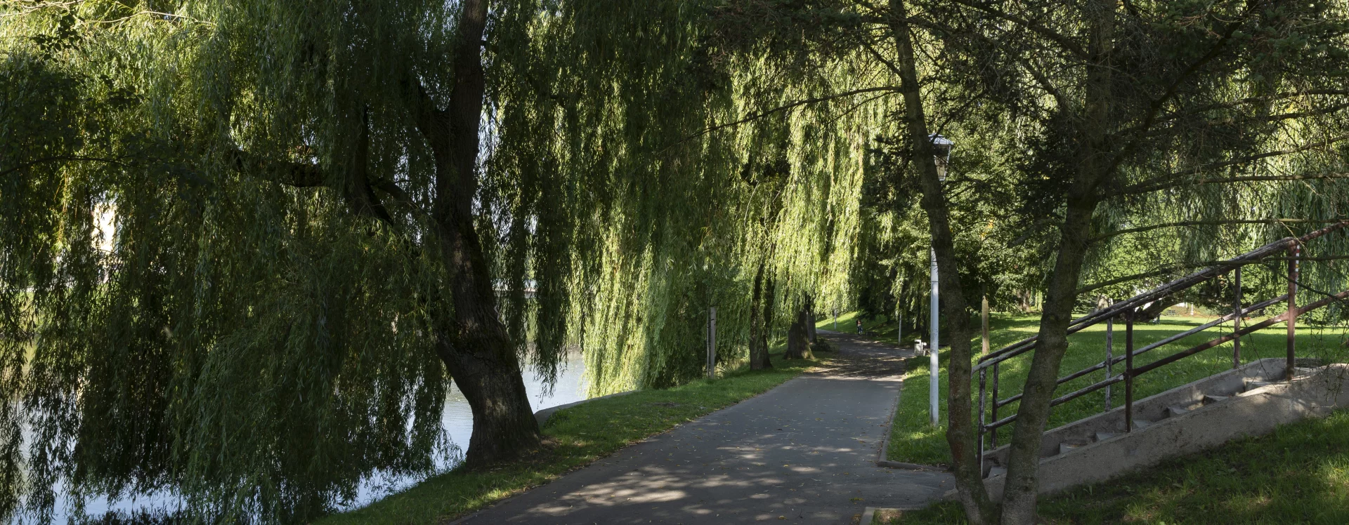
In the town centre, the riverside paths are accompanied by both leisure zones (such as the park with playgrounds along the Rámy housing estate) and sports and cultural facilities (including the V Losích sports area, the municipal theatre and cinema, and the regional library in the historic Ostrov quarter). It is clear that these paths and embankments serve pedestrians and cyclists not only as safe alternatives to the town’s busy traffic routes but also as links between cultural and recreational sites. Like the town’s street furniture (HB-VP-MOB), they represent a less obvious investment than large architectural projects but an equally important one in determining the high quality of urban life.
Zuzana Trnková, 2025
Literature
Cyklostezka podél řeky Sázavy za hotelem Slunce, Havlíčkův Brod. In: Veřejné zakázky Havlíčkův Brod. Available from: https://zakazky.muhb.cz/contract_display_418.html [accessed 3. 9. 2025]
Cyklostezka Na Losích, Havlíčkův Brod. In: Veřejné zakázky Havlíčkův Brod. Available from: https://zakazky.muhb.cz/contract_display_100.html [accessed 3. 9. 2025]
Jaromír Kulhánek. V Havlíčkově Brodě opravují mosty a lávky. Ve velkém. In: Havlíčkobrodský deník.cz. 6. 8. 2013. Available from: https://havlickobrodsky.denik.cz/zpravy_region/v-havlickove-brode-opravuji-mosty-a-lavky-ve-velkem-20130806.html [accessed 3. 9. 2025]
Lávka přes Sázavu. In: Havlíčkobrodský zpravodaj. 1994, roč. 21, č. 2, p. 7-8.
Vojtěch Michal. Havlíčkův Brod - revitalizace veřejných prostranství. Praha, Ústav krajinářské architektury FA ČVUT, 2025, Diplomová práce.